Description
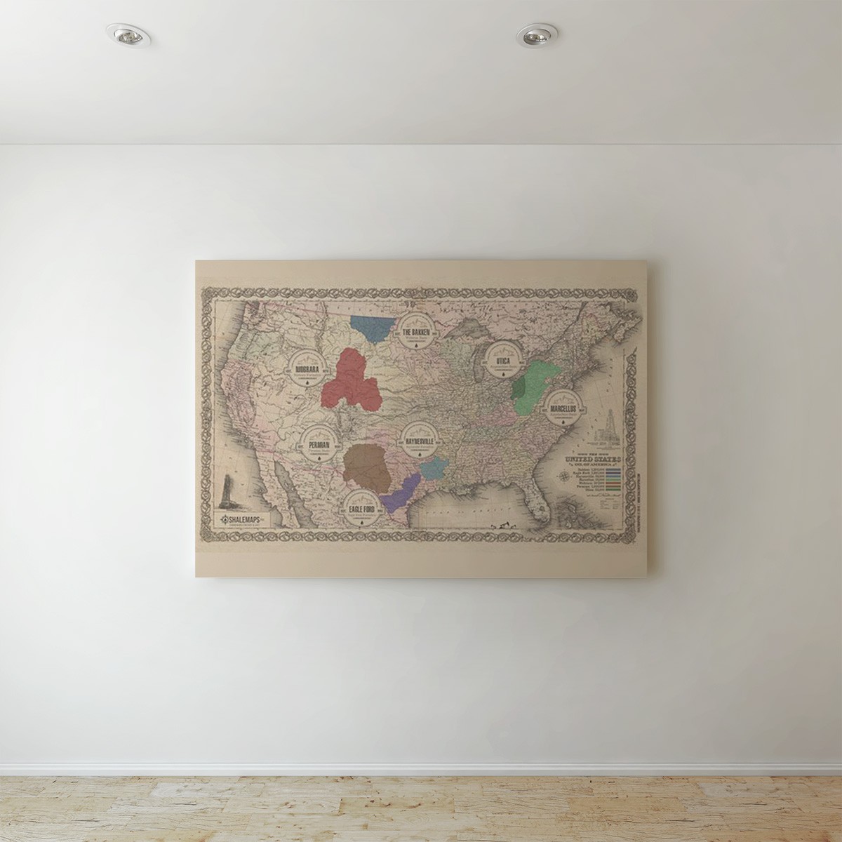
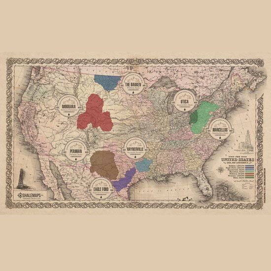
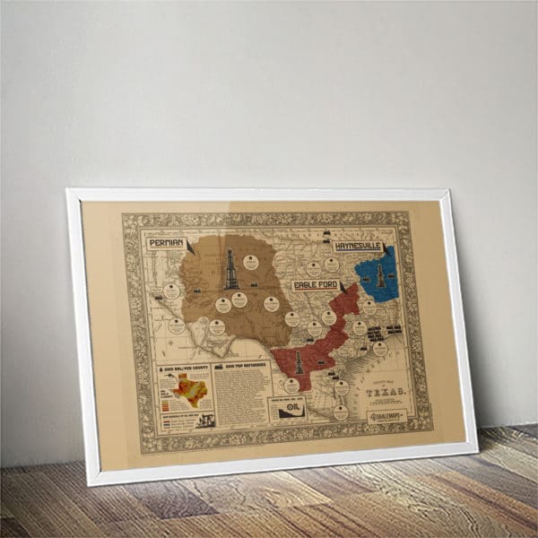
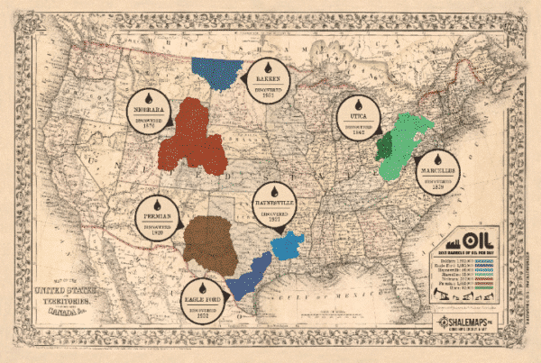
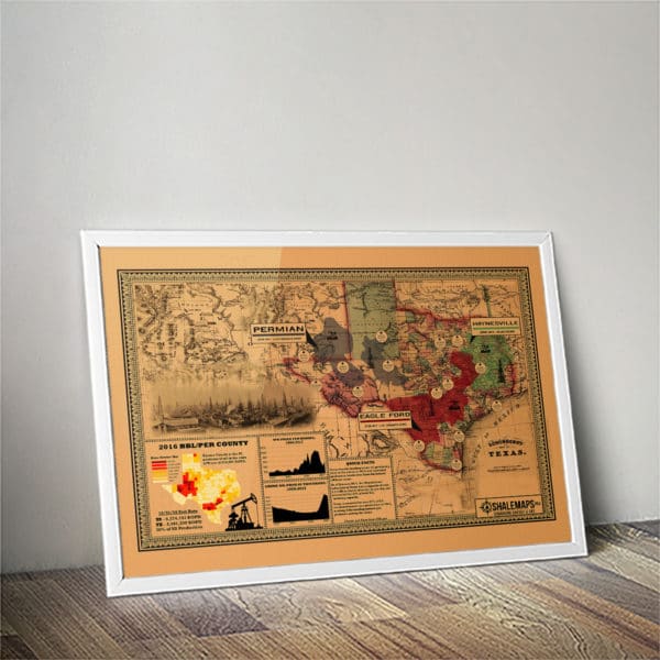
The Vintage U.S. Oil Plays Map from 1855 Includes:
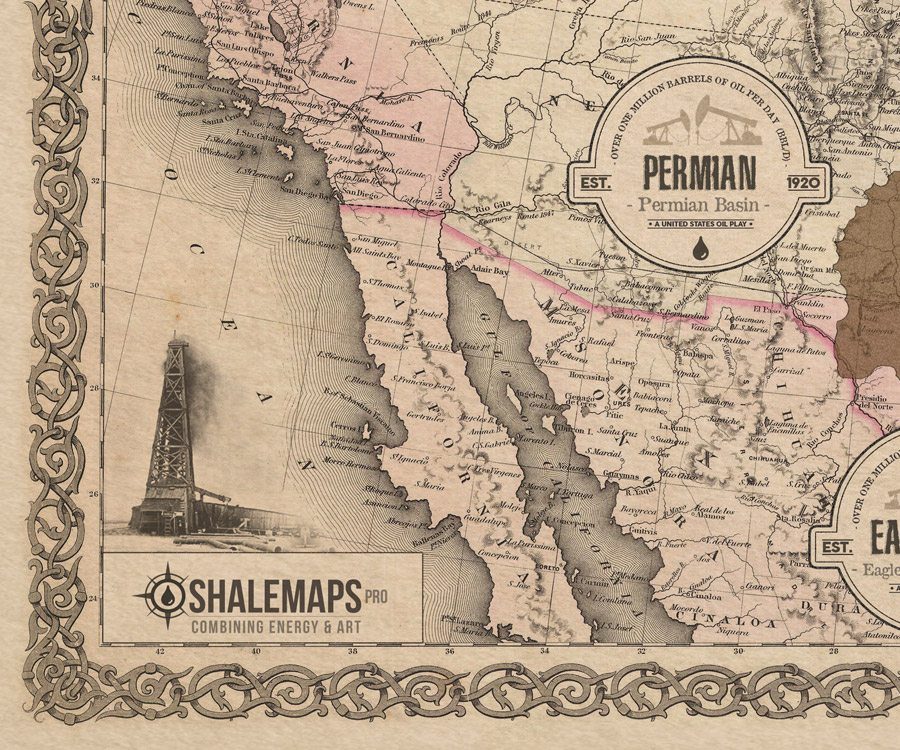
- Permian Basin Overlay with Vintage County Lines
- Eagle Ford Formation Overlay with Vintage County Lines
- Haynesville Oil Formation Overlay with Vintage County Lines
- Utica Formation Overlay with Vintage County Lines
- Marcellus Formation Overlay with Vintage County Lines
- Bakken Formation Overlay with Vintage County Lines
- Eagle Ford Formation Overlay with Vintage County Lines
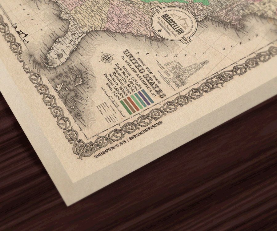
- Major Oil Plays (BBL/D)
- Major Oil Play Discovery Dates
The Vintage U.S. Oil Plays Map from 1855 is now Available in Boxed or Rolled Canvas and Fine Art Paper!
The Vintage U.S. Oil Plays Map from 1855

- Printed on heavy-duty, poly-cotton blend canvas
- Fade-resistant matte-finish coating
- Hand-stretched & hand glued solid wood stretcher bars
- Ready to hang
- Packaged with care so it arrives in pristine condition
The Vintage U.S. Oil Plays Map from 1855 Rolled Canvas:
- Printed on heavy-duty, poly-cotton blend canvas
- Fade-resistant matte-finish coating
- Ready for Framing
- Packaged with care so it arrives in pristine condition
The Vintage U.S. Oil Plays Map from 1855 Paper Print:
- Printed on heavy-duty hi-quality fine art paper
- Images are generated from high-resolution digital scans and printed with archival quality inks. The giclee printing process provides better color accuracy than other means of reproduction.
Shale Maps Pro was created for the energy and art enthusiasts alike. We wanted to provide energy enthusiasts the opportunity to be able to see where all the oil shales were in the United State and at the same time make it pleasurable for the eye. We take tremendous pride in creating our products and we truly hope you enjoy our maps as much as do. They are great for any office or home. Please contact us with any questions at [email protected]


